Key uses for a RMUS Solution in Surveying and Mapping for the Mining Sector

Topographic Surveys
Drones create accurate topographic surveys, providing elevation data for mine planning and operational optimization.
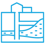
Volumetric Calculations
Drones measure stockpiles and mining excavations, aiding in precise volume calculations for inventory management.
3D Mapping and Modeling
Drones produce detailed 3D models and maps of mining areas, aiding in terrain visualization, decision-making, and resource management.
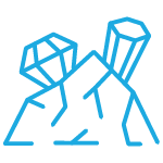
Prospecting and Exploration
Drones survey prospective areas to assess mineral potential, supporting informed decisions about resource exploration and investment.

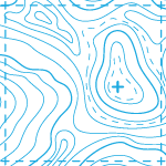
Geological Feature Monitoring
Drones help monitor geological features, such as faults and ore bodies, offering insights into the mine’s geology and mineral resources.

Safety and Environmental Compliance
Drones assist in monitoring hazardous terrain, environmental impact assessment, regulatory compliance, and ensuring safe and environmentally responsible mining practices.
Each RMUS Canada Solution is developed by our Solution Development Team, custom made to the needs of our customers, fully comprehending the amount of detail that each project requires.
Top products for Surveying and Mapping for the Mining Sector
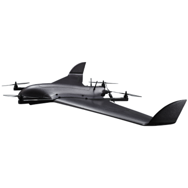
DeltaQuad Pro
Offers state-of-the-art features for
easy and productive mapping at a competitive
level of investment and operational costs.
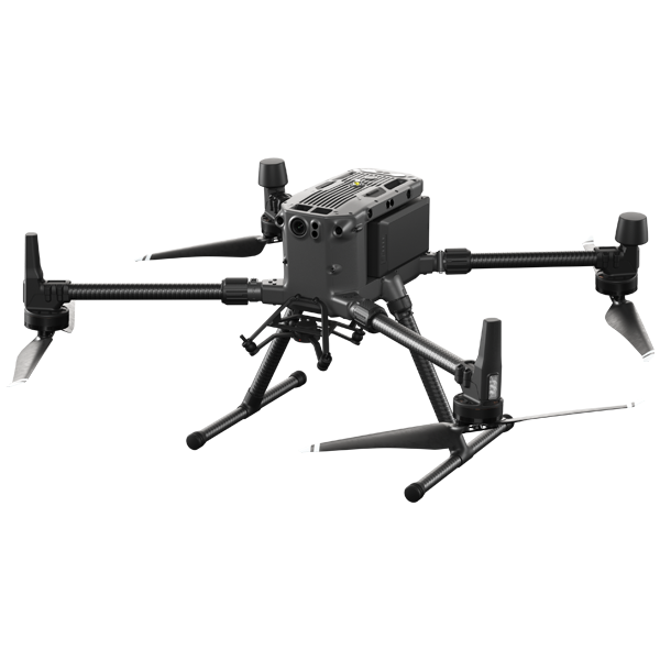
DJI M300
Combining high-performance and intelligence, the Matrice 300 sets a new standard for industrial drones.
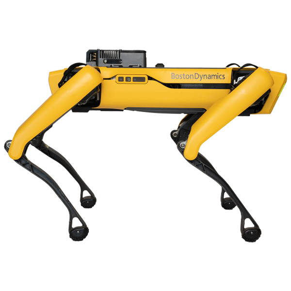
Boston Dynamics SPOT
SPOT will ensure the safety of your team by changing the way to monitor operation sites and high risk spaces.
These are some of the most used products in our solutions for companies on the Mining Sector from all over Canada, these products have proven tracks of efficiency and they rank amongst the most sought after.
Let’s talk about what your necessities are and let’s start working on a solution fit to your agency.
Payloads available for Surveying and Mapping Solutions for the Mining Sector
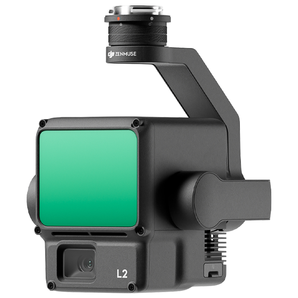
DJI Zenmuse L2
Integrates frame LiDAR, a self-developed high-accuracy IMU system, and a 4/3 CMOS RGB mapping camera, providing DJI flight platforms with more precise, efficient, and reliable geospatial data acquisition.
Pix4D
Coming soon.
DJI Terra
Terra is a 3D model reconstruction software that has photogrammetry as its core technology. It supports a range of accurate and efficient 2D and 3D reconstruction of visible light, and data processing through DJI LiDAR.
These payloads can be added and swapped to provide your solution with layers of information that will enhance the data to make the decision-making process more precise and swift.
Our Solutions Development Team is ready to provide their know-how to ensure the best performance and outcomes.
Services Available the Mining Sector

Program Development and Fleet Management
At RMUS Canada, we empower customers to harness the full potential of drones, providing tailored solutions that optimize performance, efficiency, and safety.
Our expertise in drone program development and fleet management is your gateway to a smarter, more agile future.
Full Warranty and Repair Service
We stand behind our drones with unwavering confidence. Our commitment to quality extends beyond just selling the latest in drone technology.
With our full warranty and repair service, we ensure that your investment is protected.

Full Tech Support
We’re about providing a complete aerial experience. Our full tech support service ensures that you’re never alone on your journey.
Whether a seasoned pro or a rookie, our dedicated team of experts is here to answer your questions, troubleshoot issues, and provide guidance every step of the way.
Get in contact with our Solutions Development Team
Unmanned Solutions require a great deal of planning for organizations, from the early meetings to fully comprehend your needs to the training and deployment of the Solution on site and even tech support after.
We provide support through the whole process to make it as thorough and friction-less as possible.
Tell us your story below and soon our Solutions Development Team will reach out to talk:
Contact Us
Let’s get your Unmanned Program off the ground with our solutions, the first step is to get in contact with our team during regular office hours, or message us with any details that you want to share with us
Headquarters (Toronto)
2160 Dunwin Drive, Unit 5
Mississauga, Ontario L5L 5M8
416 303 3575
Quebec
204 – 151 De Mortagne
Boucherville, Quebec, J4B 6G4
514 656 8901
Calgary
Fish Creek Office
Calgary
825 994 9121
Related content
What is DFR? – Drone as First Responder
Drones possess the ability to respond to emergency calls and quickly assess an event being able to be on scene within minutes of an initial call to help responders.
Flight #1 – The History of RMUS
For the inaugural episode of Did You Bring the Batteries, we assemble the first roundtable of RMUS experts to discuss how RMUS began.
Drone-in-a-Box Solutions Boost Routine Inspections and Data Collection
Drone-in-a-box solutions transform routine inspections and data collection, making them faster, more accurate and cost-effective.